Valtiera to Roncesvalles
Previous day || Back to trip summary page || Next day
Valtiera to Roncesvalles
Motorhome Journey from Valtiera to Roncesvalles
A clear blue sky when we wake on the motorhome aire at Valtiera, Spain, portending another very hot day. Here in the Sierra, the bottom of a flat basin with yellow fields as far as the eye can see, it is completely clear. People are up and about, the early ones already making preparations to leave. We use the shower in the large square wet room which is very good, but the water is cold… tepid at best! Also, no rubber blade floor wiper which would help to keep any residual shower water from pooling by the toilet and the floor clean, but the open door does help with drying.
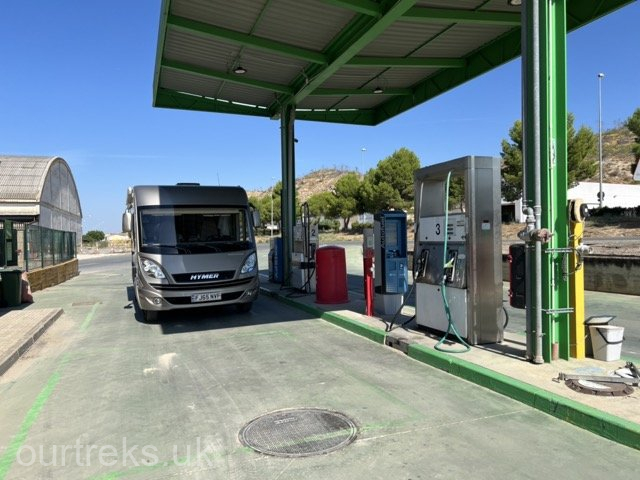
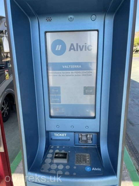
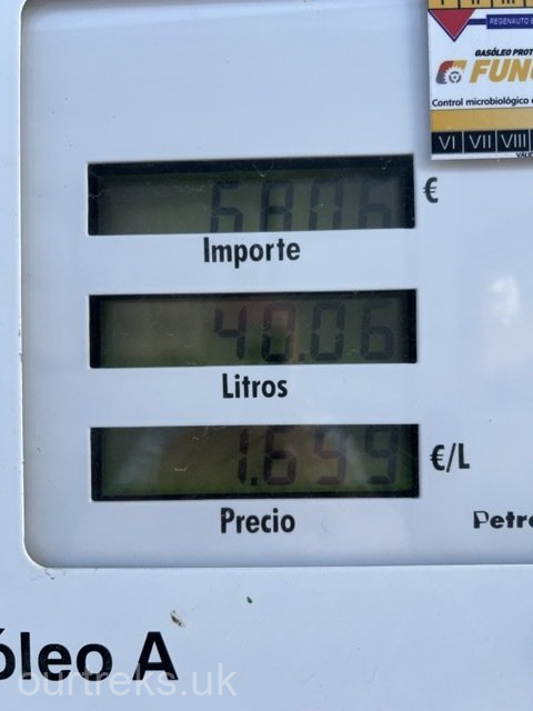
Over breakfast we review our route and decide we will go north into the high Pyrenees where it should be cooler. Over to the service area to empty the grey tank and toilet cassette and fill with water. We watch as others leave one by one, I note the moho next to us has left a pair of slip-on/sliders behind, likely just pushed underneath but, they are already gone best to leave them where they are and maybe they’ll return. On our way about 11.00 am, the temperature already in the high twenties, turning right off the campsite and then left through the town on NA-8712, stopping at the garage to fill with diesel (the ‘moho contribution’ towards the local economy) about €70 worth so a decent contribution.
Back on NA-134 from the small town of Valtierra, we rejoin N-121, a fast dual carriageway north crossing the Sierra which is completely flat (and hot) with fields of sunflowers stretching as far as the eye can see, there must be many tons of seeds (and oil) harvested each year. Passing Caparrosa and Tafalia to Tiebas where we turn east on NA-234 bypassing Pamplona (the Basque capital). Passing Otano and crossing A-21, the road begins a slow and relentless climb into the lower Pyrenees. There are few villages now and not much evidence of habitation as we climb all the way to Urroz at 641m/2,103ft (doubling our elevation from Valtierra). At Urros we cross the NA-150 main road and take the steeper NA-2330 mountain road north towards the French border. The 22 km mountain road follows (roughly) the valley of the Rio Erro with high forested trees on both sides; passing tiny Hamlets including Zunzarren with its 12 residents we join N-135 at Erro. N-135 runs north from Pamplona through the Basque area of the high Pyrenees and is the only main road crossing through the mountains from Pamplona into France. It is a steep and winding mountain road with some serious hairpin bends, which help with the climb to the summit of the Alto de Mezkiritz mountain pass, an altitude of 922m/3,051ft). Now we are on our descent and pass through another heavily wooded area. There are a number of Camino de Santiago trails with their ‘shell’ signs that appear to zig-zag across the road, no doubt the Pilgrim’s trail is straight and it is us on our winding road that zig-zags.
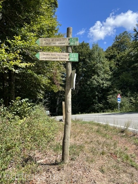
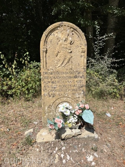
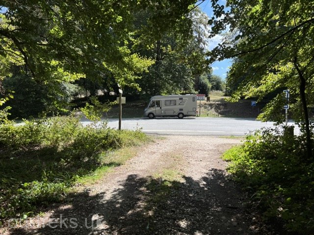
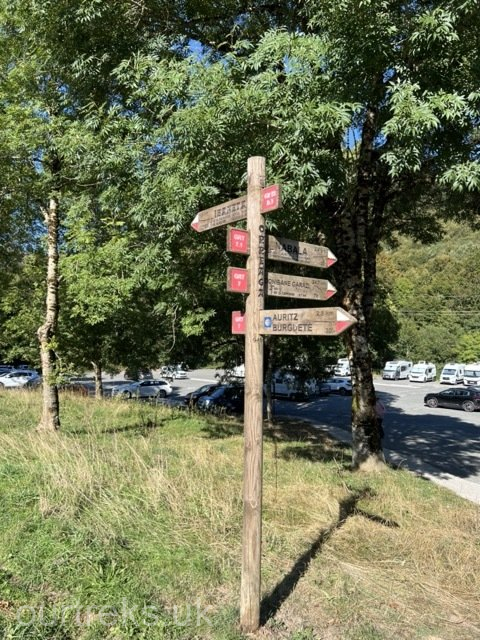
On our way downhill we see one of these Pilgrim sanctuaries at Alto de Mezkiritz. As with many of these ‘rest places’ there is a water fountain and picnic tables under the shade of large oak and beech trees, a very welcome resting place for the Pilgrims. We pull off the road and have a short break, a welcome rest for us too from the hard driving of the mountain road. It is a quiet and peaceful place where we see Pilgrims walking down towards the town of Roncesvalles. We note that there are also quite a few bikers riding the Pilgrim’s trail, something we have not seen before (and can’t quite decide if we approve!!).
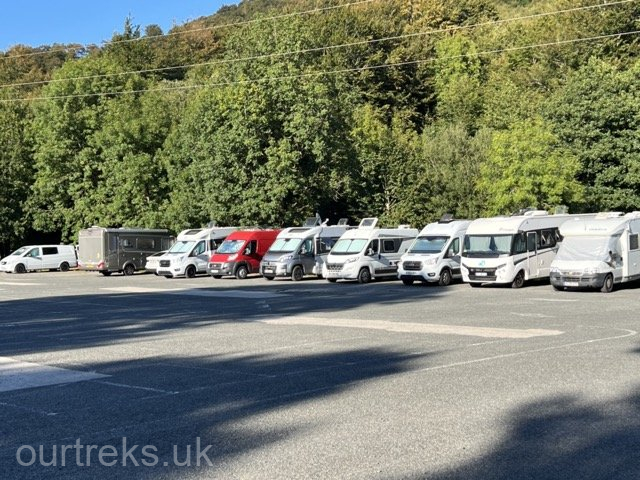
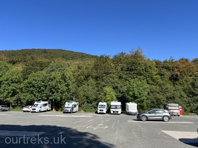
From here the steep road winds down to the town of Espinal, a good standard of road but not very wide, sufficient for two cars to pass but we need to slow considerably for a car and a motorhome. We did meet one truck, fortunately a small layby allowed one of us to get off the road and allow the other to pass! On through Urrobi (named after the river) and the small town of Burguete Auritz. We arrive at the historical town of Roncesvalles about 2.30 pm, a distance of about 130 km from Valtierra. Here we find the large car park behind the eglise Santa Maria and, at the far end against a line of trees, we see a long row of motorhomes parked. We go and join them, not quite in the shade as it is mid-afternoon, but the sun is moving round towards the west and soon will be behind these large trees.
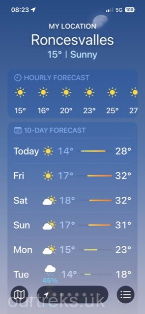
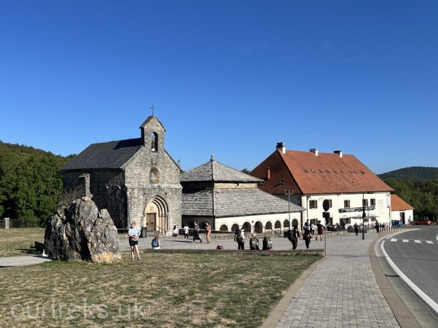
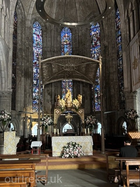
Even at this elevation of about 915 m / 3,000 ft it is still hot, about 27°C. We have a light lunch and then wander around the town. It is a big centre for Camino Pilgrims, not least as there is a very large hostel in the centre of the town where Pilgrims can get accommodation. It is busy, the two bars and restaurants are full serving fairly basic meals for Pilgrims as you would expect (€18-€20 for three courses). We see a steady stream of them arriving, hot and looking tired all carrying heavy rucksacks. The eglise Santa Maria is locked but the bigger church next to the hostel is open and we spend a quiet 15 minutes in contemplation.
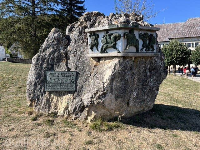
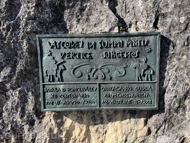
Perhaps the most interesting building is the Ossuary, it is locked but we can see in through the metal grills that it holds the bones (ossuary) of the many Pilgrims who died in Roncesvalles on the Camino, to or from Santiago. It would have been interesting to go in, but perhaps there was not a lot to see. Back outside, an ornate monument sits in the centre of the town commemorating the battle of Roncesvalles Pass in 778AD (almost 1250 years ago) between the Basque people of the area and Charlemagne’s (French) army. The Battle of Roncevaux Pass (French) or Roncesvalles (Spanish) or Orreaga (Basque) took place about 12km north of present-day Roncesvalles.
The Basque attack was in retaliation for Charlemagne’s invasion of Basque Spain by his army and the destruction of the city walls of Pamplona (the Basque capital). As the Franks retreated north across the Pyrenees to Francia (France) the Basque army set an ambush, a surprise attack on the rearguard of the Francia army, cutting it off from the main body and slaughtering all the French soldiers of Charlemagne’s rearguard. Among those killed in the battle was Roland, the foremost warrior of Charlemagne’s court, who became a legend, the quintessential role model for knights, influencing the future code of chivalry in the Middle Ages. Visitors to the Pass say that it is a deeply moving experience to stand on the site of the battle and especially the spot where the legendary paladin Roland fell in the Basque attack. A robust stone landmark now marks the place of his death, it is only 3km from the French border and safety. ‘He blew his horn and fought valiantly, but help arrived too late’. The battle was of such significance that it was recounted in the 11th century epic poem: The Song of Roland, which is the oldest surviving major work of French literature.
We did not realise that this famous (infamous) place and spot where Roland fell was so close or we would have visited it.
Back at Hymer, the row of spaces on the car park for mohos is nearly full (12). We open wine and drink it with a starter of hummus and crackers. Later, much later as it is hot, we have fried chicken, mushrooms & potatoes.
Photos in and around Roncesvalles
click on any photo to enlarge and view as slides